St. Croix, USVI On A Map Of The Caribbean
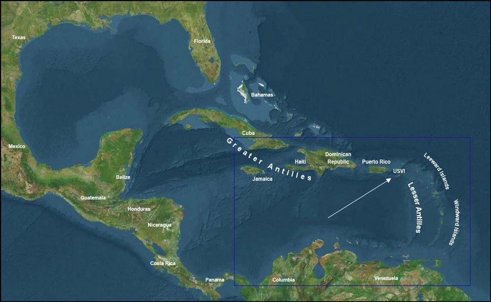
St. Croix is in the Caribbean Sea East of Puerto Rico
St Croix is in the Caribbean Sea between Puerto Rico and the British Virgin Islands and about 40 miles south of St. Thomas and St. John, the other major islands in the US Virgin Islands. St. Croix is accessible by direct flights from many continental United States airports, primarily Miami, and Atlanta, and seasonally from Charlotte and Chicago. There are also connecting flights from San Juan, Puerto Rico and there are regular flights between St. Croix and St. Thomas as well as a seaplane option. There is also a ferry between St. Croix and St. Thomas, but it is a potentially rough 2+ hour trip resulting in the boat’s nickname “vomit comet”.
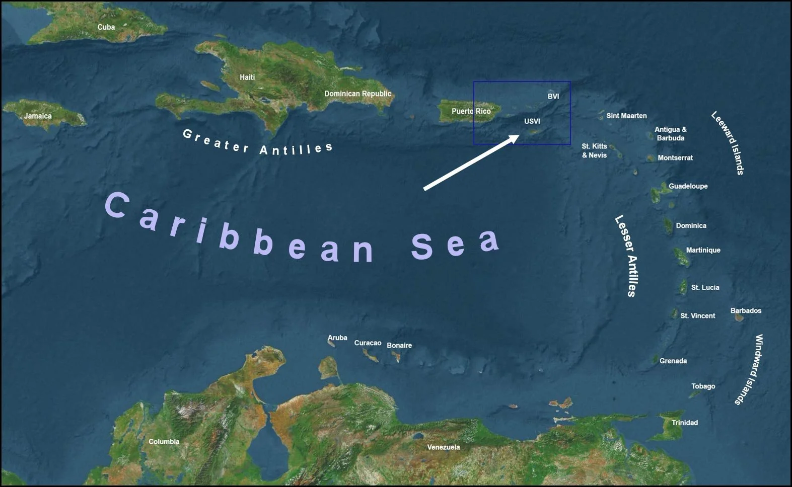
Map of the Caribbean Sea pointing out the location of the US Virgin Islands.
The US Virgin Islands are in the northeast of the Caribbean Sea about 3 hours by plane from Miami or Fort Lauderdale, Florida.
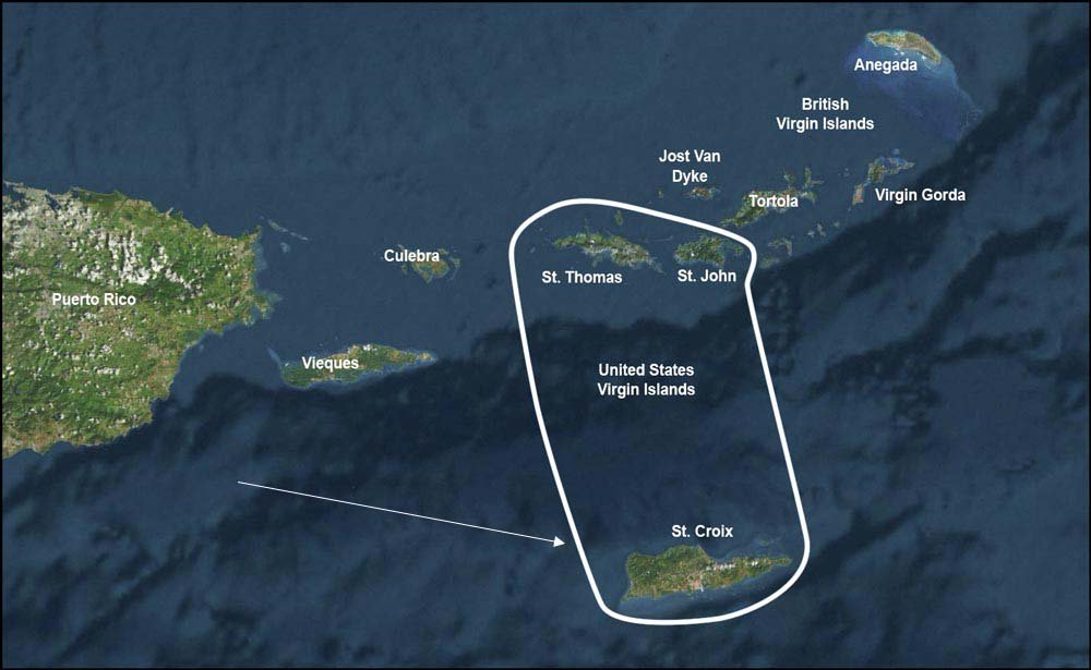
Map of the US Virgin Islands between Puerto Rico and the British Virgin Islands.
While St. Thomas and St. John have the Atlantic Ocean on their north shore, St. Croix is surrounded by the Caribbean Sea.
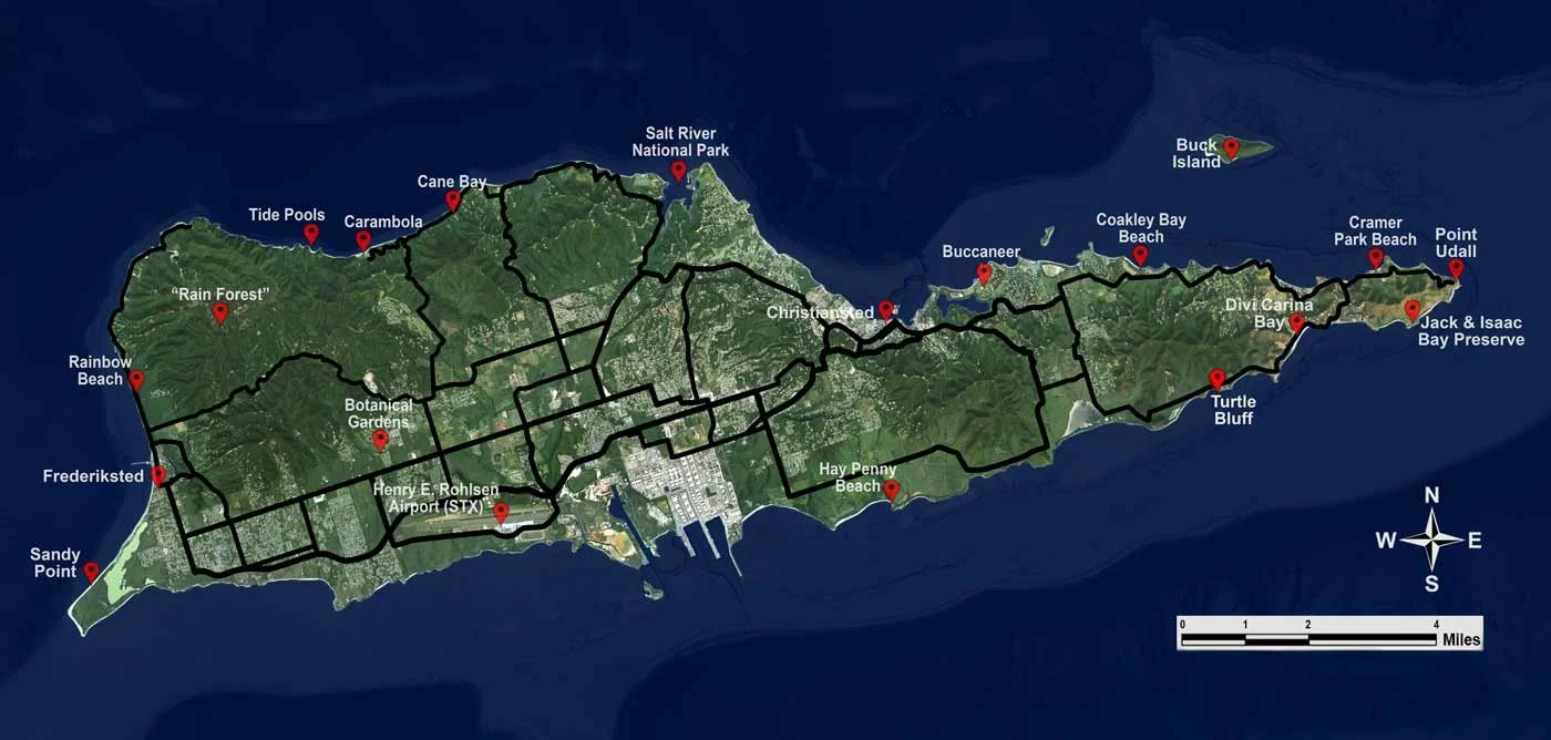
Map of St Croix
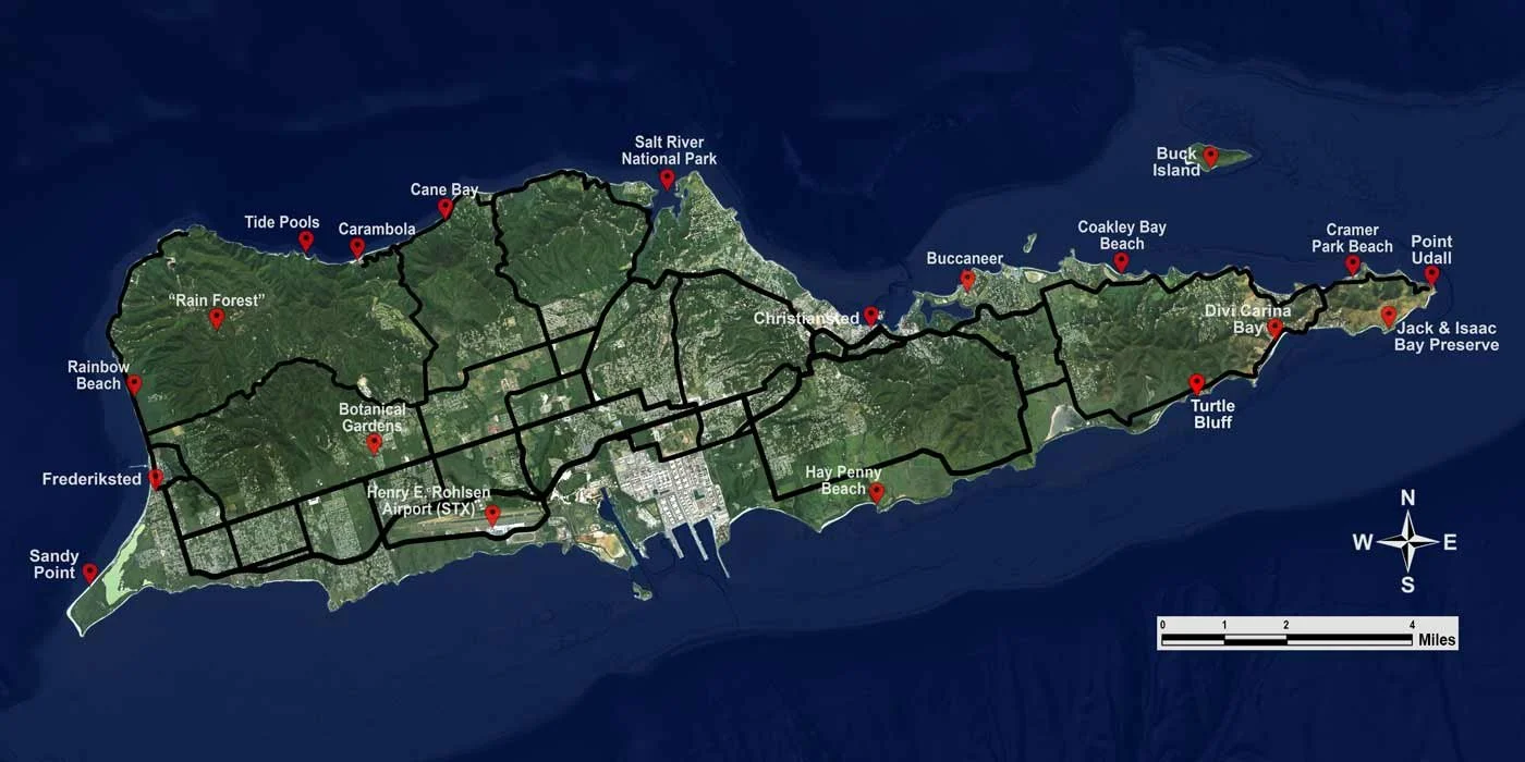
This map shows the diversity of the island and helps with points of reference. Since the island is 22 miles from Point Udall to Sandy Point you’re never very far from anywhere. In general, the north shore roads are more curvy as they follow the coastline. Check out the destinations and activities options and beaches.
Map Confusion & The Issue With A Day-Trip to St Thomas or St John
On a clear day there are many places on St Croix with a view of St. Thomas and St. John, which are also part of the US Virgin Islands, to the north. It is all too often that folks ask about a ferry for a day-trip to St Thomas, St John, or the British Virgin Islands. This challenging goal may be the result of confusing maps of the US Virgin Islands published in far too many places, including many official reference guides.
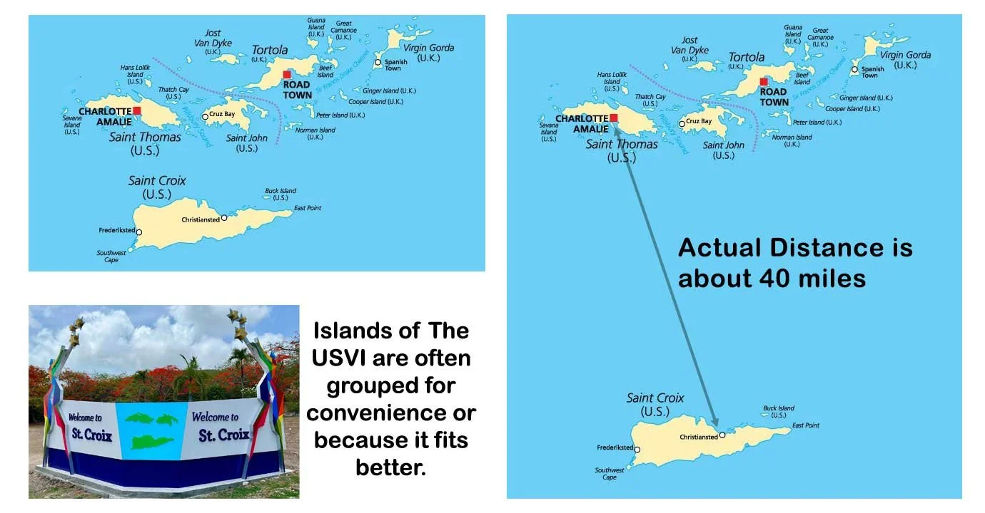
St Croix is not on the same land mass as the rest of the Virgin Islands, and the distance is 4-5 times what most people think, especially those who have found an inaccurate map where all of the islands have been grouped together for convenience. Even the USVI government groups the islands for a better look in signage and logos.
Maps frequently show St Croix as if it were only a few miles south of St. Thomas and St John. In reality, the distance is about 40 miles and below the surface is the Virgin Island Trench which reaches depths of over 2 miles. This deep water between the islands is one cause of significant waves or swells resulting in a rough boat trip for those who don’t have their “sea legs".”
St Croix map with prominent points of interest and primary roads enhanced for visibility
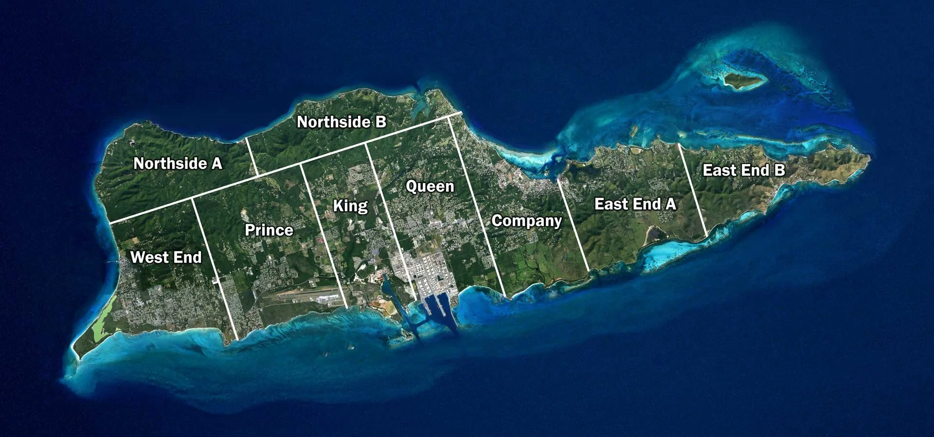
St Croix map showing its 9 districts often identified as “quarters”. These are often abbreviated as part of property descriptions for real estate listings.
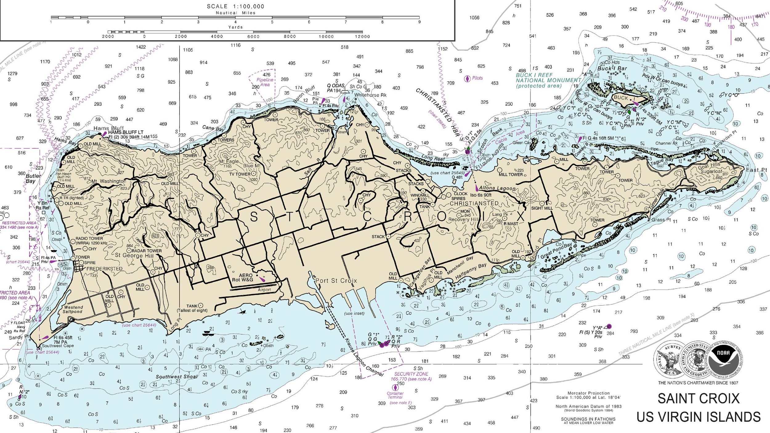
St Croix from NOAA showing water depths and prominent landmarks.
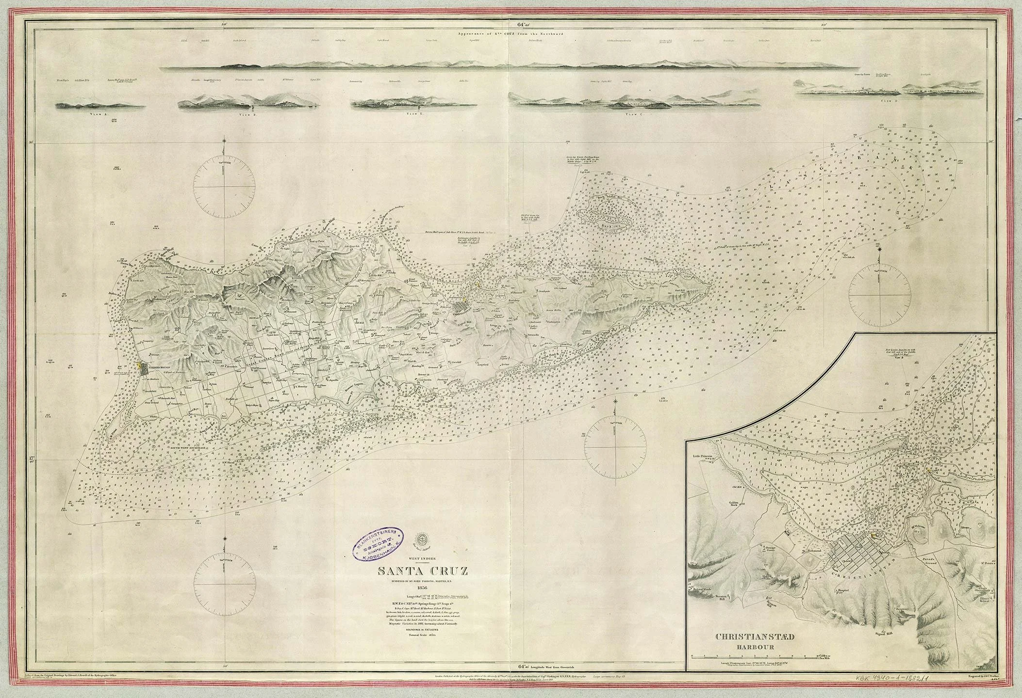
Danish map of St Croix from 1856
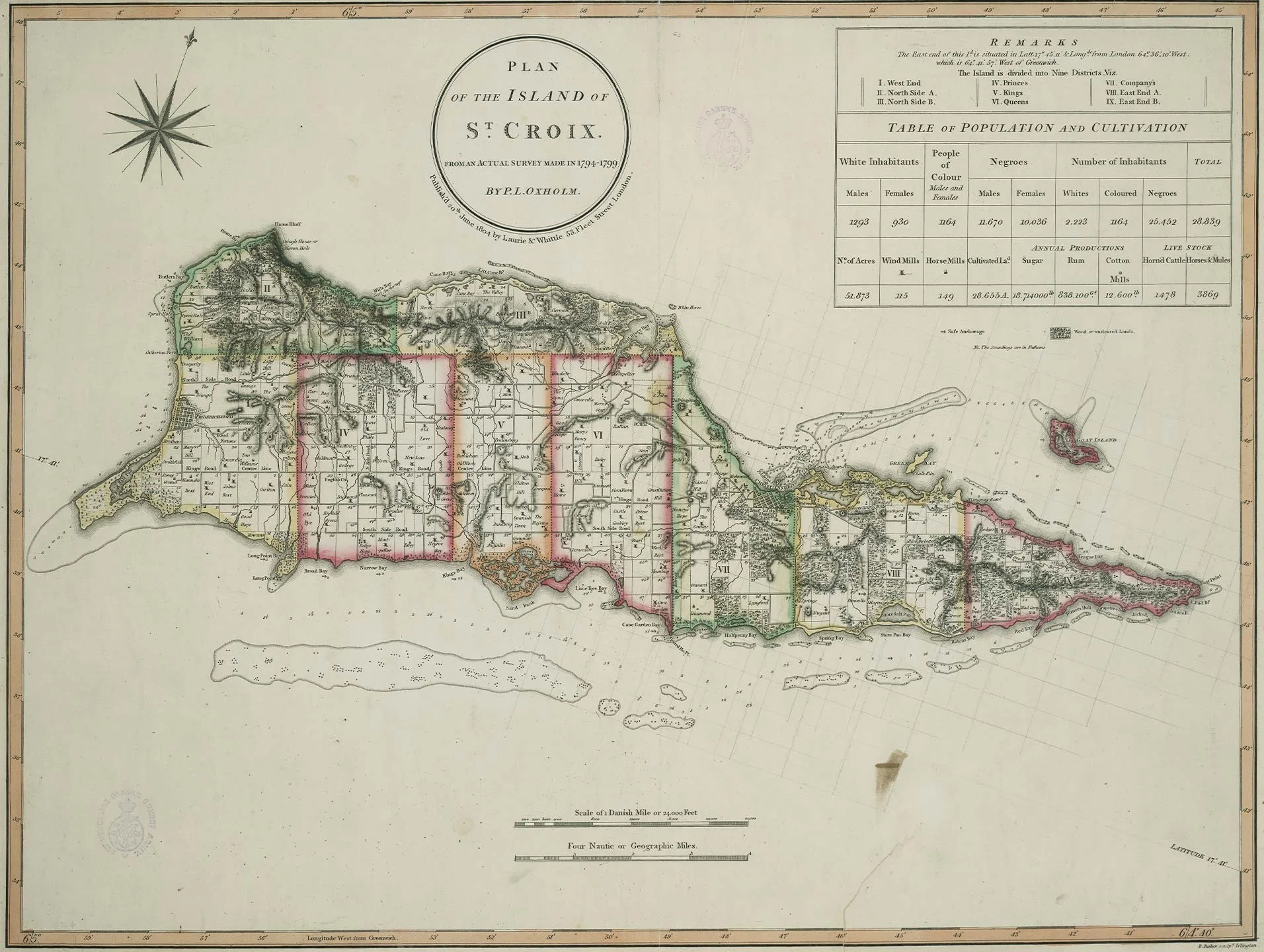
English map of St Croix from the late 1700s
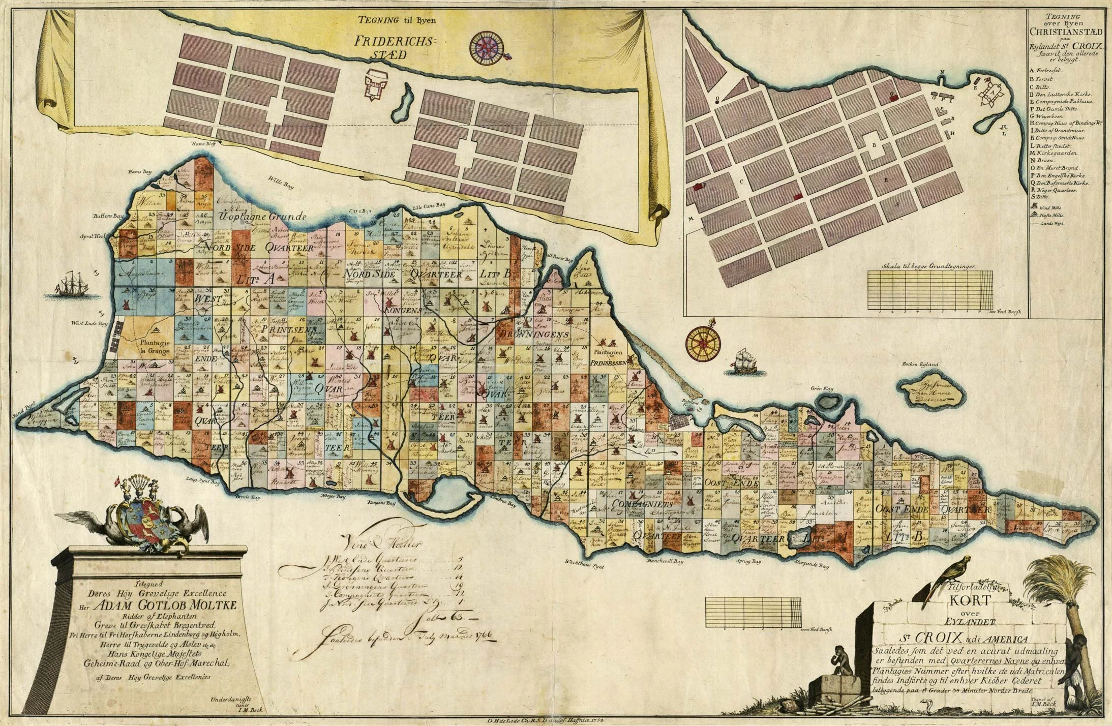
Danish map of St Croix from 1766
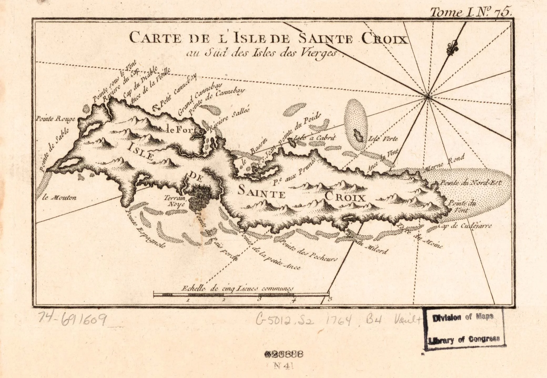
French map of St Croix from 1764